Mission Peak
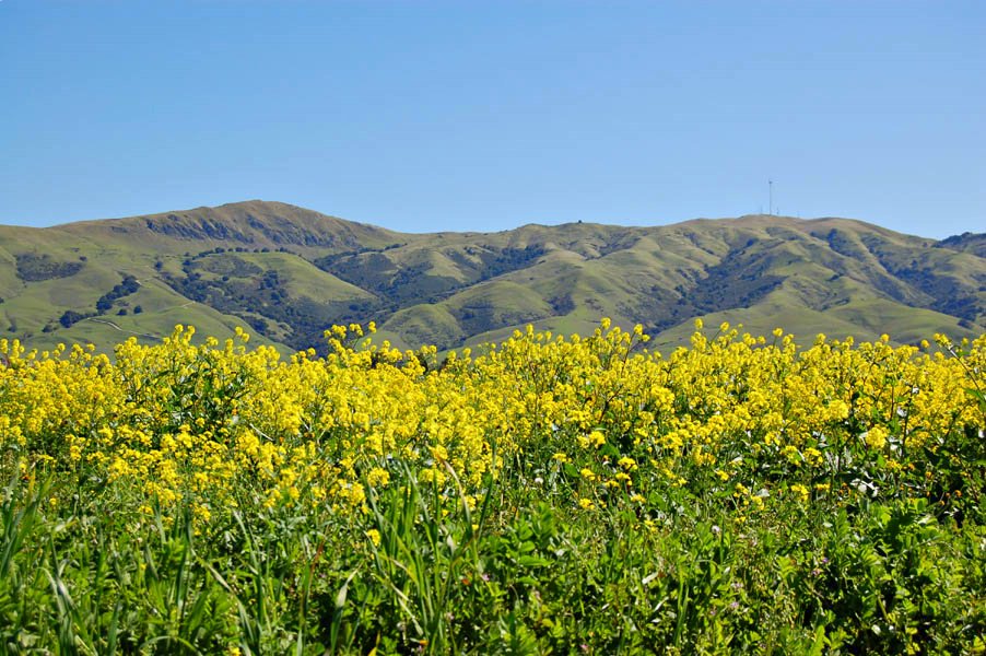
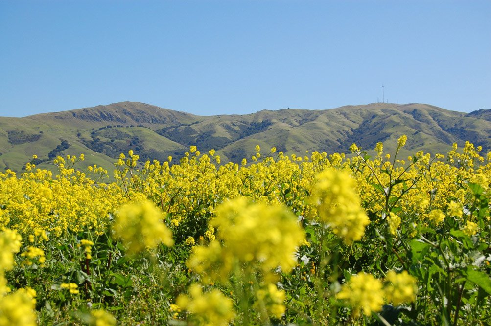
I went to SD West software conference a couple of weeks ago in Santa Clara, and on my way there I noticed this sea of bright yellow flowers along I-680 on Fremont, in front of Mission Peak. I figured it's a perfect place to test my new camera. I went back there the following weekend armed with my camera and allergy pills. Here are the shots from that outing.
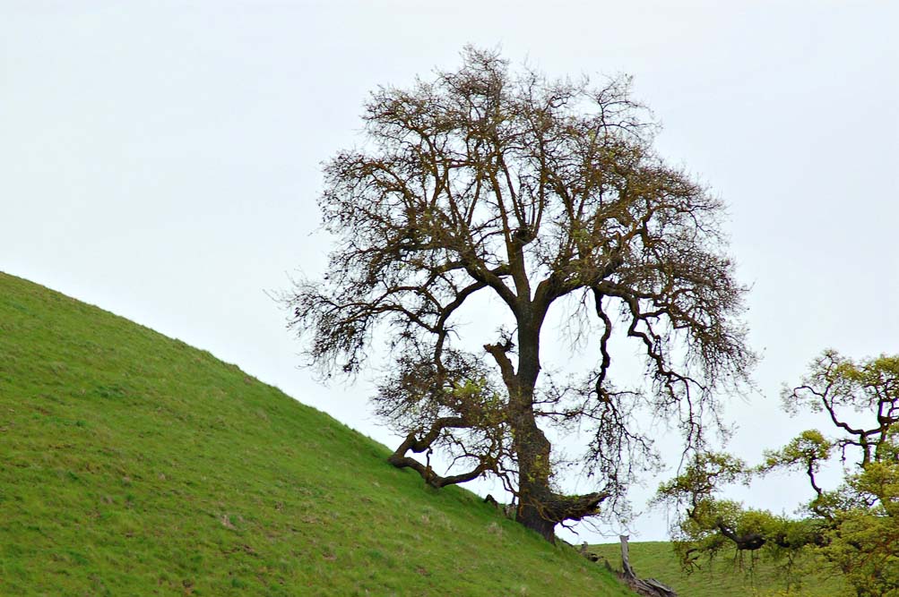
Here are a couple of shots of Mission Peak from the field.
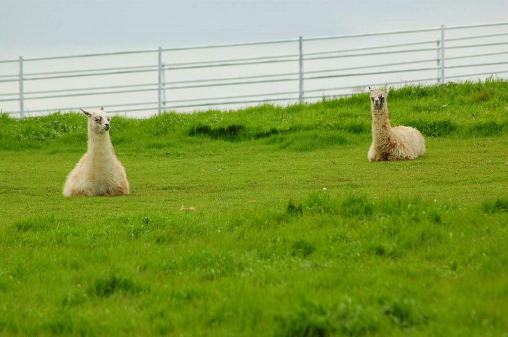
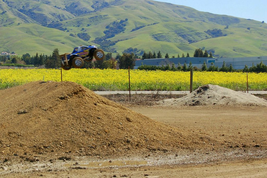
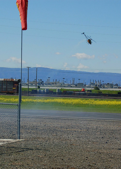
While shooting, I noticed these buzzing sounds and drove down the street to check out what it was. The sound was coming from Bayside R/C Club airfields. There, kids and adult alike where driving RC cars, planes and helicopters. They actually have their own airfield!
This picture is a panoramic view of Mission Peak from Warm Springs Rd.

I then drove up towards Mission Peak and found this nice view of Fremont and the Bay Area. The two hangers from far away are from Moffett Field in Mountain View, about 10 miles away.

posted by Rey @ 11:01 AM
0 comments
![]()